
Imray
C28 - Harwich to Wells-next-the-Sea - Imray Charts
C28 - Harwich to Wells-next-the-Sea - Imray Charts
Couldn't load pickup availability
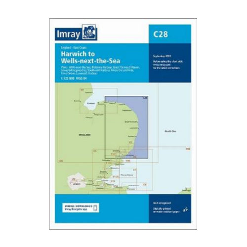
C28 - Harwich to Wells-next-the-Sea
1:125 000 WGS 84
Plans included:
Wells-next-the-Sea (1:30 000)
Blakeney Harbour (1:28 000)
Gt Yarmouth Haven (1:10 000)
Lowestoft Approaches (1:42 500)
Southwold Harbour (1:12 500)
Rivers Ore and Alde (1:42 500)
River Deben (1:45 000)
Lowestoft Harbour (1:12 000)
Base cartography uses contours, several levels of colour shading, and spot measurements to indicate depth relative to Lowest Astronomical Tide, including distinct colour highlighting for tidally-covered land. A large number of hatchings & markings are used to indicate coast types, salt flats, marshland, reefs, etc.
Compliant IALA ‘System A’ buoys are clearly marked, and indications of other navigational aides such as light floats are given where possible. Lighthouses are clearly marked with arcs of visibility. A complex and comprehensive system of symbols is used to indicate all types of submerged obstructions, including wrecks, rocks, pipelines and cables, with depths where known. Flood tides, eddies races, ebb tide streams and other current information is given. A wide range of symbols indicate onshore features, anchorages, harbour details and other points of note. Danger areas, restricted areas and traffic zones are all shown.