
Imray
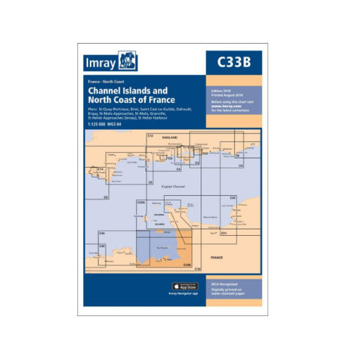
C33B Channel Islands & North Coast France - Imray Charts
C33B Channel Islands & North Coast France - Imray Charts
Regular price
£23.95 GBP
Regular price
Sale price
£23.95 GBP
Taxes included.
Shipping calculated at checkout.
Quantity
Couldn't load pickup availability
This Imray’s series of charts for the Western Europe includes comprehensive and easy-to-use sailing charts published on rip-proof, waterproof paper- ideal for use on small tables or in cockpits. They show detailed coastline and depth information, and are constantly corrected to reflect latest information. Designed primarily for yachtsmen, they are comprehensive without being unnecessarily cluttered.
Each chart contains insets showing local harbours annotated with symbols indicating what facilities can be found there (marinas, mooring and berth facilities, fuel, water, chandlers, etc.). Charts are fully updated to the latest printing date, and often include further corrections on a separate sheet. Subsequent corrections can be found on the Imray website.
On this chart, depths are shown in metres. Positions referring to WGS84 Datum, such as most GPS readings, can be plotted directly onto this chart.
Base cartography uses contours, several levels of colour shading, and spot measurements to indicate depth relative to Lowest Astronomical Tide, including distinct colour highlighting for tidally-covered land. A large number of hatchings & markings are used to indicate coast types, salt flats, marshland, reefs, etc.
Compliant IALA ‘System A’ buoys are clearly marked, and indications of other navigational aides such as light floats are given where possible. Lighthouses are clearly marked with arcs of visibility. A complex and comprehensive system of symbols is used to indicate all types of submerged obstructions, including wrecks, rocks, pipelines and cables, with depths where known. Flood tides, eddies races, ebb tide streams and other current information is given. A wide range of symbols indicate onshore features, anchorages, harbour details and other points of note. Danger areas, restricted areas and traffic zones are all shown.
Plans on this chart:
St-Quay-Portrieux; Binic; Port du Legue; Dahouet; Erquy; St-Malo Approaches; St-Malo; Granville; St Helier Approaches (Jersey); St Helier Harbour